


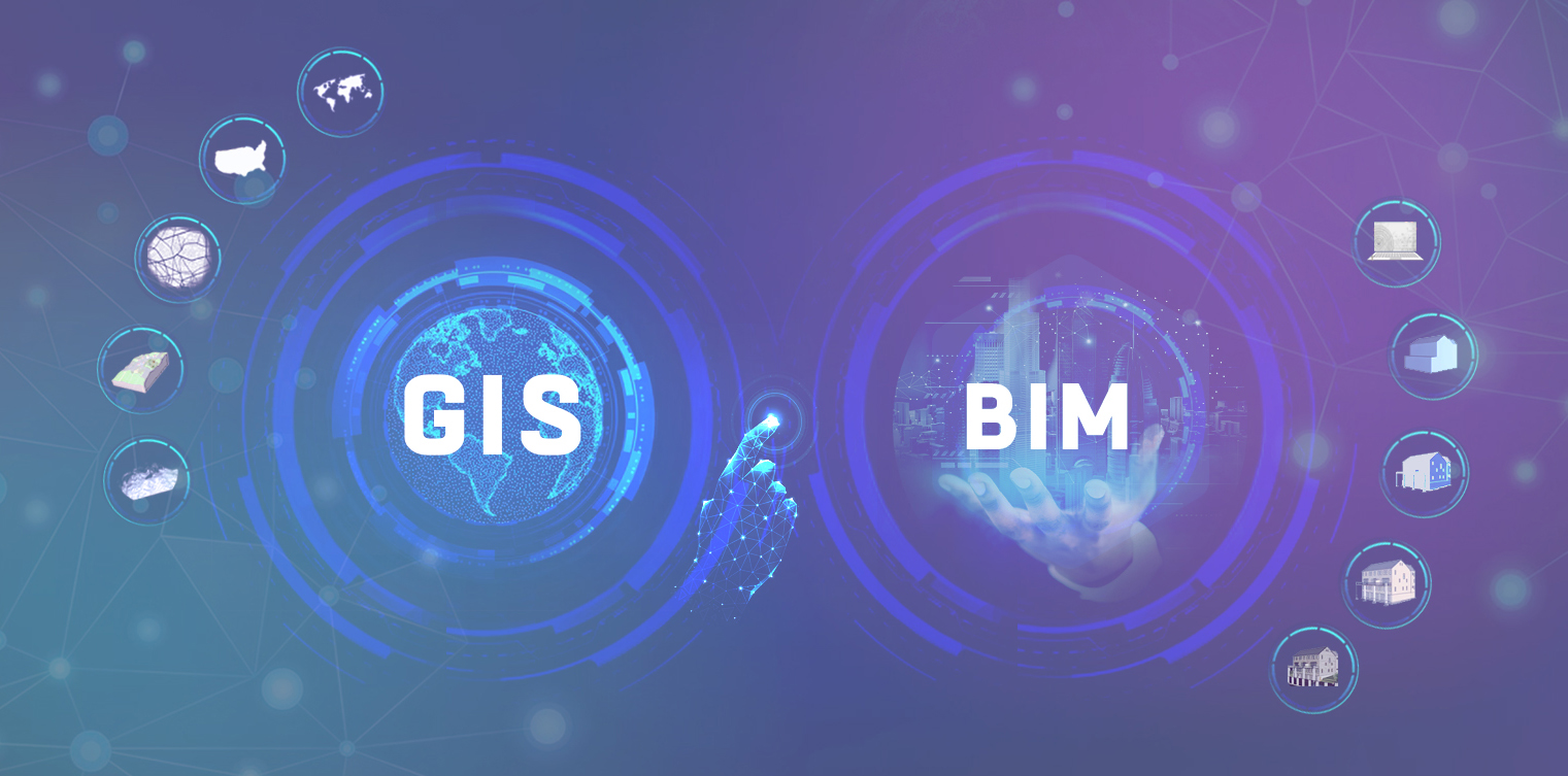
Let’s explore the exciting world of precision planning and the integration of Building Information Modeling (BIM) and Geographic Information Systems (GIS) in building projects. As professionals in the Architecture, Engineering, and Construction (AEC) industry, you understand the importance of collaboration and efficiency in delivering successful projects. In today's rapidly evolving digital landscape, the integration of BIM and GIS has emerged as a powerful tool for streamlining workflows, creating smart infrastructure, and debunking misconceptions. Join us as we navigate the future and discover the latest advances in precision planning and BIM-GIS integration for building projects.
The Power of BIM and GIS Integration in Building Projects
The integration of BIM and Geographic Information System (GIS) is revolutionizing building projects by providing a more comprehensive perspective on infrastructure. This powerful combination allows architects and engineers to have a realistic understanding of the environment in which they are working, enabling them to make more informed decisions.
By integrating geospatial location data with design procedures, BIM and GIS enhance decision-making and problem-solving in the construction process. This integration has led to the development of smart infrastructure, which has completely changed how professionals in the AEC industry work and make decisions.
One of the key benefits of BIM and GIS integration is the use of IoT sensors, cameras, and wireless communication. These technologies enable data-driven decision-making and automation in construction projects. Real-time data transmission from sensors and IoT devices to GIS-based location-intelligent control systems allows for constant connectivity and optimized construction progress and infrastructure operations.
Advanced 2D and 3D design and modeling tools, combined with BIM and GIS, accelerate smart infrastructure development. These tools create detailed infrastructure representations and allow for real-time monitoring and predictive maintenance. By adding IoT and sensor data to these models, infrastructure can be monitored and optimized in real time.
BIM provides a geometrically accurate framework for integrating IoT devices and sensors into infrastructure. This allows for detailed monitoring and predictive maintenance, making infrastructure safer, more sustainable, and more resilient.
Reality capture and mapping technologies, along with GIS, add precision and efficiency to infrastructure data collection. Laser scanning, photogrammetry, and GIS integration ensure unmatched accuracy in capturing infrastructure data.
GIS serves as the aggregator of these systems, allowing project teams to choose and evaluate sites based on geography, resources, and environmental factors. It helps visualize the landscape and plan structure placement to blend the built environment with nature. GIS also enables geospatial analysis on construction sites, optimizing construction operations for efficiency, safety, and resource management.
Integrating BIM, GIS, and reality capture produces a digital twin of infrastructure, providing facility managers with a complete asset perspective for effective maintenance planning and infrastructure management.
Overall, the power of BIM and GIS integration in building projects lies in its ability to enhance efficiency, improve sustainability, and have a significant impact on various aspects of our lives. This integration enables professionals in the AEC industry to make better decisions, reduce conflicts, and drive smarter infrastructure development.
Streamlining Workflows: How BIM and GIS Enhance Collaboration in the AEC Industry
The integration of GIS and BIM is revolutionizing the AEC industry by streamlining workflows and enhancing collaboration among professionals in architecture, engineering, and construction. This integration eliminates data redundancy and breaks down silos within firms, leading to increased productivity and a competitive edge.
Governments worldwide are mandating BIM standards and requiring the integration of BIM data into GIS systems. This integration is not just a choice but a necessity in today's industry.
However, there are several misconceptions surrounding the integration of GIS and BIM. It is important to debunk these myths, such as the belief that there is a dedicated file format for integration or that BIM is incompatible with GIS. In reality, GIS software can work directly with BIM data, and the integration process is seamless.
The benefits of integrating GIS and BIM extend beyond construction. It allows for optimized data exchange, better infrastructure design, and smarter decision-making in cities. By combining detailed geospatial data with infrastructure information, cities can make informed decisions, improve planning, and create more efficient and sustainable environments.
The main benefits of GIS and BIM integration include cost savings, enhanced data reuse, improved design quality, and a detailed geospatial context. This integration is transforming the AEC industry and contributing to developing smarter and more sustainable communities.
In addition to integrating GIS and BIM, the construction industry is undergoing a digital revolution through an overall digital transformation. This convergence of technologies is unlocking new opportunities for improved project management, enhanced collaboration, and increased efficiency in the sector.
The integration of GIS and BIM provides a comprehensive view of construction projects, enabling better decision-making and risk assessment. Virtual Design and Construction capabilities in BIM allow for realistic visualization and simulation of construction projects, aiding in design evaluation and stakeholder communication.
Furthermore, IoT and sensor integration in construction sites gather real-time data on equipment, materials, and worker safety, enhancing project monitoring and efficiency.
Overall, integrating GIS, BIM, and digital transformation is shaping the construction sector and driving smarter decisions, smoother communication, and collaboration. This integration leads to smarter infrastructure, more resilient bridges, and more efficient roads. By merging map and design data, professionals in the AEC industry can take a process-oriented approach and have access to rich project data for construction and coordination planning. The precise planning enabled by GIS and BIM integration is crucial to ensuring the success of building projects in the AEC industry.
Building Smart Infrastructure: Leveraging BIM-GIS Integration for Sustainable and Resilient Cities
The integration of BIM and Geographic Information Systems (GIS) has emerged as a transformative force in the construction and infrastructure development landscape. By combining GIS's spatial capabilities with BIM's detailed design and structural data, construction professionals can unlock new possibilities and efficiencies in their projects.
One of the key benefits of integrating BIM and GIS is the ability to provide a spatial context for BIM data. GIS excels in managing geographic and spatial information, which complements the detailed design data in BIM models. This integration allows project stakeholders to visualize and analyze BIM data within a broader geographical context. For example, in urban planning, BIM models can be integrated with GIS to understand how new developments will impact the surrounding environment, including transportation networks, utilities, and land use. This holistic view enables better decision-making, reduces conflicts, and enhances project sustainability.
Furthermore, the integration of BIM and GIS facilitates site analysis and selection. GIS provides powerful tools for assessing potential sites based on factors such as environmental conditions, accessibility, and zoning regulations. By integrating GIS with BIM, project teams can make more comprehensive assessments and informed design decisions. This integration also helps in identifying suitable locations for temporary facilities during construction, optimizing logistics, and allocating resources.
Beyond the construction phase, the integration of BIM and GIS continues to add value. GIS can be used to create interactive facility management systems that overlay BIM data with real-time information about the facility's location. Facility managers can access information on maintenance schedules and equipment locations and even track the movement of personnel within the facility. This integration streamlines maintenance and improves the overall efficiency of facility management.
Several factors need to be considered to implement BIM-GIS integration effectively. Data standardization is crucial to ensure seamless integration, and industry standards like Industry Foundation Classes (IFC) for BIM and Geography Markup Language (GML) for GIS can be employed. Investing in interoperable software solutions supporting BIM and GIS functionalities is essential. Collaboration and communication between stakeholders, including experts in both BIM and GIS, play a vital role in successful integration. Regular meetings and documentation of workflows can facilitate the flow of information. Maintaining data accuracy and consistency through data quality assurance processes is critical. Planning for scalability from the outset prevents disruptions in project workflow as the project evolves.
The integration of BIM and GIS offers numerous benefits to construction projects. It improves decision-making by providing enhanced data visibility and spatial context, reducing costly errors. Optimized site selection and resource allocation improve efficiency throughout the project lifecycle. The ability to assess environmental impacts in real time promotes sustainable design and construction practices. Post-construction, facility managers benefit from streamlined maintenance and operations.
Looking ahead, the integration of BIM and GIS is expected to become even more sophisticated. Artificial intelligence and machine learning will automate data analysis and decision support. Additionally, augmented reality (AR) and virtual reality (VR) applications could provide immersive experiences for project stakeholders.
Embracing the integration of BIM and GIS is a step towards a brighter and more sustainable future for the construction industry. By harnessing the power of spatial information and detailed BIM data, projects can be planned, executed, and managed with greater precision and efficiency. As technology continues to evolve, we can expect even more innovative solutions to emerge, further enhancing the synergy between BIM and GIS in the years to come.
Breaking Down the Myths: Debunking Misconceptions about GIS and BIM Integration
Several misconceptions surround the integration of GIS and BIM in the field of AEC. It is important to debunk these myths and understand the true potential of GIS-BIM integration.
One common misconception is that the primary functions of GIS are limited in current applications of BIM-GIS integration. In reality, GIS is a broad field that covers visualization-based decision-making and geospatial modeling, not just a 3D visualization system for built environments and cities. By utilizing spatial and spatio-temporal statistical analysis, GIS can provide valuable insights for BIM-GIS integration.
Another misconception is that BIM only provides geometry and semantic information of construction components without considering user requirements. However, in recent years, it has become essential to study and propose solutions for user requirements such as quality, time, and cost management in BIM applications. By incorporating user requirements into BIM, the integration with GIS can address a wider range of construction challenges.
Level of Detail (LoD) is another aspect that is often overlooked in the integration processes of analysis and decision-making. While LoD is applied to the representation and management of buildings and building elements in BIM-GIS models, it is not always considered a spatiotemporal attribute. By treating LoD as a spatio-temporal attribute, the integration of BIM and GIS can provide more accurate and comprehensive data for analysis and decision-making.
BIM-GIS integration has been applied in various construction phases, including planning and design, construction, operation and maintenance, and demolition. It is not limited to a specific phase of the construction process. For example, emergency and disaster simulation, response, and management have become popular topics in BIM-GIS integration. By integrating BIM and GIS, professionals in the AEC industry can better monitor changes, enhance public safety, and make better-informed decisions during emergency situations.
Maintenance and renewal of existing buildings also offer great potential for BIM-GIS integration. In developed nations and urbanized regions in developing nations, most buildings are old rather than new, so managing old buildings poses a significant challenge. BIM-GIS integration can provide valuable insights and solutions for the maintenance and renewal of existing buildings.
The applications of BIM-GIS integration are diverse and cover various aspects of the AEC industry. Site selection, climate adaptation, safety planning, energy design, heritage protection, and construction supply chain management are just a few examples of the applications of BIM-GIS integration. Integrating BIM and GIS can improve infrastructure planning, design, and management.
In recent years, BIM-GIS integration has also been applied to urban modeling, urban facility management, and traffic planning and analysis. By merging map and design data, professionals in the AEC industry can make cities more resilient, efficient, and sustainable. Integrating BIM and GIS enables better communication and collaboration among stakeholders, leading to smoother project management and decision-making processes.
To facilitate the integration of BIM and GIS, researchers have proposed new standards and methods for building and urban database management. These advancements in database management enable the storage, query, exchange, and management of spatial information in an efficient and effective manner. Additionally, various integration methods have been proposed to address technological problems in BIM-GIS integration, ensuring interoperability and data accuracy.
To Summarize
The integration of BIM and GIS has revolutionized the AEC industry. By streamlining workflows and enhancing collaboration, professionals can deliver projects more efficiently and effectively. Additionally, the power of BIM-GIS integration extends beyond individual projects, enabling the creation of smart infrastructure for sustainable and resilient cities. It is important to debunk misconceptions about GIS and BIM integration, as this powerful tool can potentially shape the future of the AEC industry. As we navigate the future, it is crucial for professionals to stay informed about the latest advances in precision planning and BIM-GIS integration to stay competitive and deliver successful projects.


In this report, our team offers a comprehensive analysis of Geographic Information Systems (GIS) market, SWOT analysis of the most prominent players in this landscape.
Along with an industrial chain, market statistics in terms of revenue, sales, price, capacity, regional market analysis, segment-wise data, and market forecast information are offered in the full study, etc.
Download Free Sample Report @ https://www.radiantinsights.com/research/global-geographic-information-systems-gis-market-2020-2026/request-sample This report focuses on top manufacturers in global market, Involved the assessment of Sales, price, revenue and market share for each manufacturer, covering• Pitney Bowes• Autodesk• Trimble• Topcon• Hexagon AB• Caliper• Cadcorp• Hi-Target Surveying Instrument• General Electric• Maxar Technologies• Bentley Systems• Environmental Systems Research Institute On the basis of product, this report displays the Sales, revenue, price, market share and growth rate of each type, primarily split into• Telematics and Navigation• Location-Based• Services Mapping• Surveying By Application, this report focuses on Sales, Market share and Growth Rate of each application, can be divided into• Software• Hardware• GNSS/GPS Antennas• Imaging Sensors• GIS Collectors• Total Stations• LIDAR By Regions, this report splits global market into several key regions, with Sales, Revenue, Price and Gross Margin market share of top players in these regions, from 2014 to 2026 (forecast), like• China• USA• Europe• Japan• Korea• India• Southeast Asia• South America Browse Full Research Report with TOC @ https://www.radiantinsights.com/research/global-geographic-information-systems-gis-market-2020-2026 Table of Contents Global Geographic Information Systems (GIS) Market Professional Survey Report 20191 Report Overview1.1 Definition and Specification1.2 Manufacturers and Region Overview1.2.1 Manufacturers Overview1.2.2 Regions Overview1.3 Type Overview1.3.1 Telematics and Navigation1.3.2 Location-Based1.3.3 Services Mapping1.3.4 Surveying1.4 Application Overview1.4.1 Software1.4.2 Hardware1.4.3 GNSS/GPS Antennas1.4.4 Imaging Sensors1.4.5 GIS Collectors1.4.6 Total Stations1.4.7 LIDAR1.5 Industrial Chain1.5.1 Geographic Information Systems (GIS) Industrial Chain1.5.2 Upstream1.5.3 Downstream 2.1 The Overall Market Performance(Volume)2.1.1 Telematics and Navigation2.1.2 Location-Based2.1.3 Services Mapping2.1.4 Surveying2.2 The Overall Market Performance(Value)2.2.1 Telematics and Navigation2.2.2 Location-Based2.2.3 Services Mapping2.2.4 Surveying 3 Global Geographic Information Systems (GIS) Market Assessment by Application3.1 Overall Market Performance (Volume)3.2 Software3.3 Hardware3.4 GNSS/GPS Antennas3.5 Imaging Sensors3.6 GIS Collectors3.7 Total Stations3.8 LIDAR Continued… Read all Reports of this category @ https://www.radiantinsights.com/catalog/ict About Radiant InsightsRadiant Insights is a platform for companies looking to meet their market research and business intelligence requirements.
It assists and facilitate organizations and individuals procure market research reports, helping them in the decisions making process.
The Organization has a comprehensive collection of reports, covering over 40 key industries and a host of micro markets.
In addition to over extensive database of reports, experienced research coordinators also offer a host of ancillary services such as, research partnerships/ tie-ups and customized research solutions.

20th September, 2018 - Geographic Information Systems (GIS) Market is expected to grow at a significant CAGR in the upcoming years as the scope is increasing across the globe.
Increasing demand of GIS engineering applications can be attributed to the growing traditional GIS systems in the global market.
With GIS it is possible to map, model, query, and analyze large quantities of data all held together within a single database.Request a Sample Copy of This Report @ https://www.millioninsights.com/industry-reports/geographic-information-system-gis-market/request-sampleA geospatial information system or (GIS) is a conventional tool that understands geographical or information.
Various Industries around the world are implementing GIS systems to obtain precise results and enhance their operations.
The geographic information system (gis) market is anticipated to grow owing to the Increase in demand for process industries such as Petrochemicals, Oil and Gas, Steel & Metal, and Mining industry which consists of individual manufacturing units that need to be located and coordinated to continue smooth flow till the finished product.
Portfolio optimization, site selection, and design & construction, is provided by GIS to maintain and operate the facilities.


